

 Charles Lyons-Burt
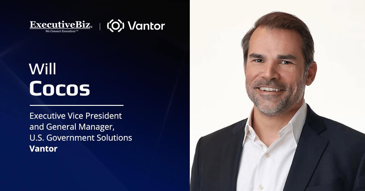
- Cocos took over Vantor’s U.S. government business after three years as chief transformation officer
- Raptor gives drones a GPS-free way to fix position and targets, with testing in Ukraine
- Frontline forces need direct tasking authority, not a centralized collection queue, Cocos says
Will Cocos planned missions as a Navy SEAL using flat, 2D satellite images. Today, he leads a business that turns satellite collection, 3D terrain and AI into intelligence for U.S. warfighters.
Cocos was promoted to executive vice president and general manager of U.S. government solutions at Vantor in August. He now holds full profit-and-loss responsibility for the company’s largest business unit, serving defense, intelligence and civil agencies.
He stepped into the role after three years as Vantor’s chief transformation officer, where he led value creation, sales operations, partnerships and M&A and helped grow the company’s international business. His path there ran through eight years in the SEAL Teams, a partner role at Boston Consulting Group and general management and M&A leadership at manufacturer Comar.
In this Spotlight interview with ExecutiveBiz, Cocos discussed how AI underpins Vantor’s collection and analysis, why 3D terrain matters for autonomous systems operating without GPS and what commercial spatial intelligence brings to national security.
ExecutiveBiz: How is your team at Vantor using AI to support warfighters on the front lines?
Will Cocos: At Vantor, AI underpins just about everything we do. It helps us decide where satellites should collect, make sense of the imagery and flag changes that may need a closer look.
Our satellites can collect nearly 7 million square kilometers each day. AI helps us manage that volume. It can identify areas that have changed, account for conditions like weather when planning collections and help customers focus on what the imagery shows — not just the images themselves.
In our Sentry product, AI helps analysts monitor hundreds of locations simultaneously, learn what activity is typical and flag anything unusual for review. Through the NGA Luno program, we’re also using AI to identify objects and changes to roads, buildings, vegetation and other features across imagery from multiple satellite systems.
That helps teams keep track of what’s changing across large areas and focus on the activity that matters.
EBiz: Can you tell me about the power of 3D terrain? How is it enabling the warfighter and autonomous systems, especially in GPS-denied environments?
Cocos: When I was a Navy SEAL, we planned operations using flat, 2D satellite images. It was incredibly valuable, but trying to understand mountainous terrain from a flat image wasn’t easy. It would have been much more valuable if we could have virtually driven or walked our routes in a 3D environment as part of our mission planning.
With accurate 3D terrain, you can evaluate routes, understand elevation changes, assess lines of sight and identify ideal locations for things like landing zones or overwatch positions. That gives you a much better understanding of the environment you’re going into.
3D is also becoming increasingly important for autonomous systems, especially when GPS isn’t available, which is the current state in all the current conflict zones. Our Raptor technology uses a drone’s onboard full motion video camera to extract either a drone position or a target coordinate by aligning the image with our highly accurate 3D maps. That gives the drone another way to determine where it is or what it is targeting without relying on GPS.
We’ve tested Raptor in Ukraine and other areas, including in environments where GPS was being jammed. And as drones and other autonomous systems become more common on the battlefield, having a reliable way to navigate when GPS can’t be trusted is table stakes.
EBiz: Why is the commercial spatial intelligence industry important to national security?
Cocos: One of the advantages of commercial spatial intelligence is that it is unclassified. That means it can be shared quickly and broadly. That’s incredibly important when you have multiple partner forces trying to operate in the same geographic area from the same information.
Ukraine is a good example. Commercial intelligence can get to people on the front lines quickly, and it can be shared across partners who may not have access to the same classified systems.
It also gives us more resilience. Commercial satellites, sensors and software provide additional sources of information and ways to maintain awareness if other systems are disrupted. They can augment or back up national systems.
The other important piece is how quickly the commercial sector can develop and improve technology. We’re seeing rapid advances in AI, software and sensors. The challenge is getting those capabilities into government operations fast enough to make a difference.
Finally, as warfare evolves, cost-effective mass and scale is becoming increasingly important relative to high-cost, exquisite, low-volume, high-capability systems. The same is true when you look at space. Maintaining mass and scale in space to ensure persistent battlespace awareness is increasingly critical. Commercial is the best bet for bringing lower-cost mass and scale to space.
That’s why continued government investment in the commercial industry is so important. Our adversaries are moving quickly to close the gap and leveraging their commercial capabilities to get there. We can’t assume the advantage we have today will be there tomorrow.
Commercial capabilities aren’t going to replace government systems, nor should they. But bringing the two together gives the U.S. and our allies more options and a stronger overall capability.
EBiz: How has GEOINT collection changed over the last five years, and how has Vantor adapted to those changes?
Cocos: The biggest change is that GEOINT is no longer just a strategic asset. It’s something warfighters can use on the front lines.
Advances in software, AI and computing now allow us to combine satellite imagery, drone feeds, 3D terrain and historical data, identify what’s changed and get that intelligence directly to operators. We’re seeing that in Ukraine, where information that once took much longer to move through the intelligence cycle can now reach a frontline user on a mission timeline.
And today’s battlefield environment demands lower latency tasking and collection of GEOINT. Submitting a tasking requirement to a centralized collection queue and hoping that collection is prioritized and ultimately tasked does not work in today’s warfare. We have to allocate direct tasking and collection capability to frontline operational forces.
At Vantor, that’s where we’ve focused our investment — not just on collecting more data, but on the software, AI and 3D foundation that turns all of those sources into usable intelligence at the edge and at the speed that wars are being fought today.
The real measure of progress is no longer how much you can collect. It’s how quickly you can turn it into an advantage for the person making the decision.
Who Is Will Cocos?
Will Cocos is executive vice president and general manager of U.S. government solutions at Vantor, where he oversees sales, customer success, program management, engineering, government relations and communications for the company’s largest business unit. He moved into the role in August 2026 after three years as Vantor’s chief transformation officer, leading value creation planning, sales operations, partnerships and M&A.
Before Vantor, Cocos spent four years at pharmaceutical and medical device component manufacturer Comar, rising from vice president of M&A and value creation to general manager and then senior vice president of strategy and marketing. Earlier, he was a partner in Boston Consulting Group’s transformation and operations practices, advising engineered products and aerospace and defense clients.
Cocos began his career as a Navy SEAL officer, leading units on national security missions worldwide, and is a combat veteran of Afghanistan and Iraq. A graduate of the U.S. Naval Academy, he also serves on the board of the National Security Space Association.
What Is Vantor?
Vantor is a Westminster, Colorado-based spatial intelligence company that rebranded from Maxar Intelligence in October 2025, marking its shift from satellite imagery provider to end-to-end spatial intelligence company. Alongside Raptor and Sentry, its portfolio includes Tensorglobe, an AI-enabled platform that fuses sensor data from space, air and ground into a living 3D globe.