

 Sophia Elliott
- Ryan remains executive vice chairman of Constellis, where he previously served as CEO
- Director Philippe Frappier stepped down to make room and will serve as a board observer
- Ryan held senior executive roles at Leidos predecessor SAIC, ManTech and Mercury Systems
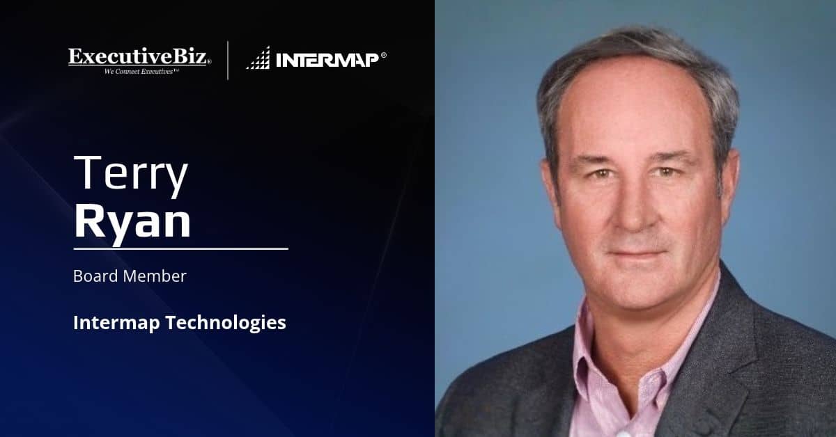
Terry Ryan, executive vice chairman and former CEO of Constellis, has joined the board of directors of Intermap Technologies, a Denver-based geospatial intelligence company, Intermap said Tuesday.
To make room for Ryan before Intermap’s next annual shareholder meeting, director Philippe Frappier stepped down from the board. Frappier will serve as a board observer and adviser in the interim and is expected to be nominated for election alongside Intermap’s existing directors at that meeting.
Ryan, a Wash100 Award winner, said Intermap’s platform combines proprietary global-scale 3D terrain data with spaceborne image processing and AI decision support.
“I look forward to working with the Board and management team to help advance Intermap’s strategy, broaden access to growth capital and create long-term value for shareholders,” he said.
Who Is Terry Ryan?
Before becoming Constellis’ executive vice chairman, Ryan served as the company’s CEO and a director, leading development of Layered Extended Security Operations, or LEXSO, an artificial intelligence decision-support platform that layers multidomain sensor data onto geospatial foundation data for critical infrastructure protection. In his current role, he supports Constellis’ global operations and LEXSO deployment.
His industry career includes senior executive roles at Science Applications International Corp., which later became Leidos, as well as ManTech International, Mercury Systems, VT Services, SRA International and Tenax Aerospace.
In government, Ryan served as a professional staff member on the Senate and House intelligence oversight committees, as director of intelligence, surveillance and reconnaissance systems in the Office of the Secretary of Defense, and as deputy director of the Defense Airborne Reconnaissance Office. In those roles, he oversaw the allocation of billions of dollars for the development and integration of airborne and spaceborne sensor platforms.
He has also advised former leaders of the CIA, the Joint Chiefs of Staff and the Defense Advanced Research Projects Agency on geospatial intelligence.
What Does Intermap Do?
Intermap provides geospatial intelligence products built on proprietary 3D data, image processing software and AI-driven analytics for government and commercial customers. According to the company, its 3D data covers more than 300 million square kilometers across more than 150 countries and supports markets including government, insurance, aviation, telecommunications, transportation and renewable energy.